
Sponsored vectors from Shutterstock
Click to save 20% sitewide with code MAPS20
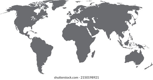
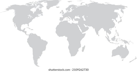



Map of the World with Glaciated Areas is a fully layered, printable, editable vector map file. All maps come in AI, EPS, PDF, PNG and JPG file formats. Includes: Glaciated Areas, Antarctic Ice Shelf, Longitude and Latitudes and Circles of Latitude on individual layers.
Click to save 20% sitewide with code MAPS20


