Sponsored vectors from Shutterstock

Click to save 20% sitewide with code MAPS20
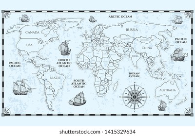
Vector antique world map with countries boundaries and ships
Dotted world map. The concept illustration of globe
Australia Map
More Oceania maps on Shutterstock

Maps of Oceania

73 to 90 of 197 results

Map of Western Australia - DotsWestern Australia - DotsAU-WA-EPS-01-3001
Map of Tasmania - DotsTasmania - DotsAU-TAS-EPS-01-3001
Map of Cook Islands - Single ColorCook Islands - Single ColorCK-EPS-01-0001
Map of Northern Mariana IslandsNorthern Mariana IslandsMP-EPS-02-0001
Map of Papua New Guinea with Provinces - MulticolorPapua New Guinea with Provinces - MulticolorPG-EPS-02-0003
Map of Federated States of MicronesiaFederated States of MicronesiaFM-EPS-02-0001
Map of Nauru - Single ColorNauru - Single ColorNR-EPS-01-0001
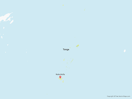
Map of Tonga - Single ColorTonga - Single ColorTO-EPS-01-0001
Map of Kiribati - Single ColorKiribati - Single ColorKI-EPS-01-0001
Map of Victoria - BlueVictoria - BlueAU-VIC-EPS-02-4001
Map of Federated States of Micronesia - Single ColorFederated States of Micronesia - Single ColorFM-EPS-01-0001
Map of Marshall Islands - Single ColorMarshall Islands - Single ColorMH-EPS-01-0001
Map of Marshall IslandsMarshall IslandsMH-EPS-02-0001
Map of Cocos (Keeling) Islands - Single ColorCocos (Keeling) Islands - Single ColorCC-EPS-01-0001
Map of Palau - Single ColorPalau - Single ColorPW-EPS-01-0001
Map of Australian Capital Territory - FlagAustralian Capital Territory - FlagAU-ACT-EPS-02-6001