Sponsored Images by iStock - Limited Deal: 15% OFF with 15ISTOCK Coupon
iStock Widget
silhouette country map of Haiti in the Caribbean islands on white background
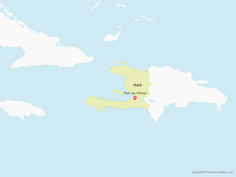
Haiti Political Map with capital Port-au-Prince, with national borders, important cities, rivers and lakes. English labeling and scaling. Illustration.
The detailed map of Haiti with regions or states. Administrative division.
Hispaniola Political Map with Haiti and Dominican Republic, located in the Caribbean island group, the Greater Antilles. With capitals, national borders, important cities, rivers and lakes. English labeling and scaling. Illustration.
Haiti map. Blank vector map of the Country. Borders of Haiti for your infographic. Vector illustration.
Greater Antilles political map. Vector illustration

Vector Maps of Haiti

Map of Haiti - SketchHaiti - SketchHT-EPS-02-7001
Map of Haiti with Departments - Single ColorHaiti with Departments - Single ColorHT-EPS-01-0002
Map of Haiti - BlueHaiti - BlueHT-EPS-02-4001

Vector Maps of Caribbean Islands

Map of Martinique - SketchMartinique - SketchMQ-EPS-02-7001
Map of Saint Barthélemy - BlueSaint Barthélemy - BlueBL-EPS-02-4001
Map of Turks and Caicos IslandTurks and Caicos IslandTC-EPS-02-0001
Map of Saba and Sint EustatiusSaba and Sint EustatiusBQ-EPS-02-0002