Sponsored Images by iStock - Limited Deal: 15% OFF with 15ISTOCK Coupon
iStock Widget
Vector isolated illustration of political map African state - Cote D'ivoire. Black silhouette. White background
Cote dIvoire flag on map on transparent  background
Vector maps set.  High detailed 46 maps of African countries with administrative division and cities. Political map, map of Africa continent, world map, globe, infographic elements.  Part 1.
Cote d'Ivoire map in Africa zoom version, icons showing Cote d'Ivoire location and flags.
West Africa region, political map. Area with capitals and borders. The westernmost countries on the African continent, also called Western Africa. English labeling. Illustration. Vector.
Vector map of Ivory Coast. High detailed country map with division, cities and capital Yamoussoukro. Political map,  world map, infographic elements.

Vector Maps of the Ivory Coast

Map of Ivory Coast Ivory Coast CI-EPS-02-0001
Map of Ivory Coast - Single Color Ivory Coast - Single Color CI-EPS-01-0001
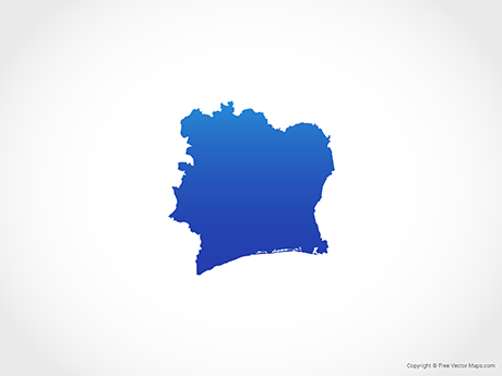
Map of Ivory Coast - BlueIvory Coast - BlueCI-EPS-02-4001

Vector Maps of Africa

Map of Swaziland with Districts - MulticolorSwaziland with Districts - MulticolorSZ-EPS-02-0003
Map of Ghana with RegionsGhana with RegionsGH-EPS-02-0002
Map of Zimbabwe with ProvincesZimbabwe with ProvincesZW-EPS-02-0002