Sponsored Images by iStock - Limited Deal: 15% OFF with 15ISTOCK Coupon
iStock Widget
Political map of Nigeria with capital Abuja, national borders, most important cities, rivers and lakes. Vector illustration with English labeling and scaling.
Vector isolated illustration of simplified administrative map of Nigeria. Borders and names of the provinces (regions). Grey silhouettes. White outline.
Vector illustration of the map of Nigeria
Vector maps set.  High detailed 46 maps of African countries with administrative division and cities. Political map, map of Africa continent, world map, globe, infographic elements.  Part 1.
http://dikobraz.org/map_2.jpg
Africa map. vector

Vector Maps of Nigeria

Map of Nigeria - FlagNigeria - FlagNG-EPS-02-6001
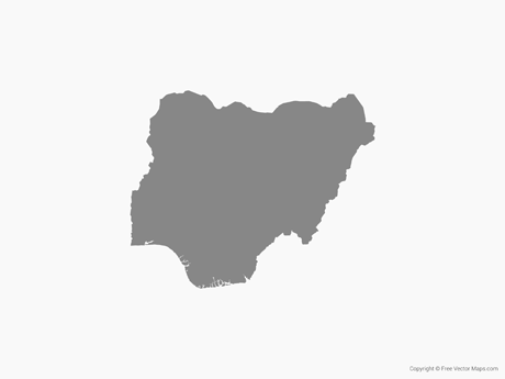
Map of Nigeria - Single ColorNigeria - Single ColorNG-EPS-01-0001
Map of Nigeria with States - MulticolorNigeria with States - MulticolorNG-EPS-02-0003

Vector Maps of Africa

Map of Mayotte - BlueMayotte - BlueYT-EPS-02-4001
Map of Ghana - Single ColorGhana - Single ColorGH-EPS-01-0001
Map of Kenya - 3DKenya - 3DKE-EPS-02-8001
Map of Zambia with Provinces - Single ColorZambia with Provinces - Single ColorZM-EPS-01-0002