World Maps
Continents
Americas
Europe
Asia & Oceania
Africa & Mid. East
More
Premium Maps
Globes
PowerPoint Maps
Blue Maps
Flag Maps
Sketch Maps
Stamp Maps
3D Maps
FAQs
License
Donate
Maps A - Z
The50UnitedStates.com
VectorFlags.com
Map Bundles
0
Free Vector Maps of
The Americas
North America
Canada
Mexico
United States of America
Central America
Belize
Costa Rica
El Salvador
Guatemala
Honduras
Nicaragua
Panama
Caribbean Islands
Cuba
Dominican Republic
Jamaica
Puerto Rico
South America
Argentina
Brazil
Chile
Ecuador
Peru
Venezuela
Free Vector Maps of
Europe
Europe
Austria
Belgium
Croatia
Czech Republic
Denmark
Finland
France
Germany
Greece
Ireland
Italy
Netherlands
Norway
Portugal
Russia
Spain
Sweden
Switzerland
Turkey
Ukraine
United Kingdom
Free Vector Maps of
Africa & The Middle East
Africa
Algeria
Botswana
Egypt
Kenya
Libya
Morocco
Namibia
Somalia
South Africa
Tanzania
Zimbabwe
The Middle East
Iran
Iraq
Israel
Jordan
Kuwait
Lebanon
Oman
Qatar
Saudi Arabia
Syria
United Arab Emirates
Free Vector Maps of
Asia, Oceania & The Antarctic
Asia
Afghanistan
China
India
Indonesia
Japan
Malaysia
Pakistan
Philippines
South Korea
Thailand
Vietnam
Oceania
Australia
Fiji
New Caledonia
New Zealand
Papua New Guinea
Solomon Islands
Vanuatu
Antarctic
Antarctica
Falkland Islands
South Georgia
Sponsored Images by iStock -
Limited Deal: 15% OFF with
15ISTOCK
Coupon
Narrow Your Results
Keyword(s)
Search continents, countries or capitals
Map Region
All Regions
World & Continents
Africa
Antarctic
Asia
Caribbean Islands
Central America
Europe
Globes
Middle East
North America
Oceania
South America
Map Projection
All Projections
Albers Equal Area
Lambert Azimuthal Equal Area
Lambert Conformal Conic
Mercator
Miller
Orthographic
Robinson
Van der Grinten
Map Tier
Basic
Standard
Premium
Map Options
City Map
Mulitcolored
Regional
Includes maps with regions, states or counties
Refine Search
Search Results for “
Latin America
”
1 to 18 of 242 results
A - Z
A - Z
Z - A
Newest
Views
Downloads
Page 1 of 14
Page 1
Page 2
Page 3
Page 4
Page 5
First Page
Last Page
Argentina
AR-EPS-02-0001
Argentina - 3D
AR-EPS-02-8001
Argentina - Blue
AR-EPS-02-4001
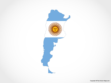
Argentina - Flag
AR-EPS-02-6001
Argentina - Outline
AR-EPS-01-0003
Argentina - Single Color
AR-EPS-01-0001
Argentina - Sketch
AR-EPS-02-7001
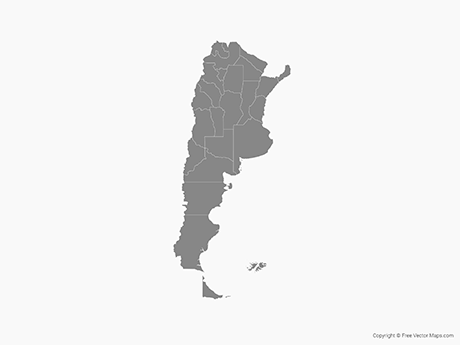
Argentina with Provinces
AR-EPS-02-0002
Argentina with Provinces - Multicolor
AR-EPS-02-0003
Argentina with Provinces - Outline
AR-EPS-01-0004
Argentina with Provinces - Single Color
AR-EPS-01-0002
Bolivia
BO-EPS-02-0001
Bolivia - 3D
BO-EPS-02-8001
Bolivia - Blue
BO-EPS-02-4001
Bolivia - Flag
BO-EPS-02-6001
Bolivia - Outline
BO-EPS-01-0003
Bolivia - Single Color
BO-EPS-01-0001
Bolivia - Sketch
BO-EPS-02-7001
A - Z
A - Z
Z - A
Newest
Views
Downloads
Page 1 of 14
Page 1
Page 2
Page 3
Page 4
Page 5
First Page
Last Page
Trending Maps
Explore Maps
Map Bundles
Premium Maps
Powerpoint Maps
Flag Maps
Multicolor Maps
Blue Maps
Globes
Map Activity
Trending Maps
Maps A - Z
Learn More
About
FAQs
Features
License
Contact
Privacy
Terms
Buy Me a Coffee
Facebook
Twitter
Save up-to 80% with Map Bundles!
Explore