Map of the United States of America with Congressional Districts
US-EPS-01-0004

Details
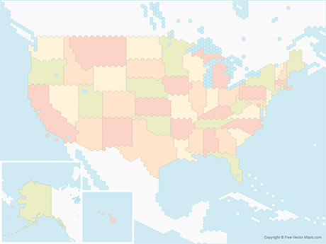
Map of the United States of America with Congressional Districts is a fully layered, printable, editable vector map file. All maps come in AI, EPS, PDF, PNG and JPG file formats.
113th US Congressional Districts. Each state is on it's own layer.
Available in the following map bundle
- Don't want to Attribute Free Vector Maps? Buy map for $1.49
- Aren't sure which option is best for you? Learn more
- How do I provide Attribution?