Sponsored vectors from Shutterstock

Click to save 20% sitewide with code MAPS20
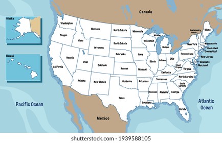
United States of America map with states names illustration
Vector United States of America Map
Stamp or sign with the name, Flag and Map of United States of America, vector illustration
Editable template of detailed map of USA with percent marks, isolated on white
Stamp or sign with the name and map of South Dakota, United States, vector illustration
Heat map of the spread of coronavirus infection in the United States in digital style. Heat map of coronavirus in the United States.
More United States of America maps on Shutterstock

Vector Maps of the United States of America

Map of United States of America - PowderUnited States of America - PowderUS-EPS-02-1001
Map of United States with Congressional Districts - OutlineUnited States with Congressional Districts - OutlineUS-EPS-01-1004
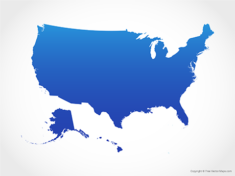
Map of United States of America - BlueUnited States of America - BlueUS-EPS-02-4001
Map of United States of America with States - OutlineUnited States of America with States - OutlineUS-EPS-01-1002

Vector Maps of North America

Map of Oklahoma - OutlineOklahoma - OutlineUS-OK-EPS-01-1001
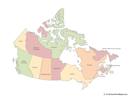
Map of Canada with Provinces - Multicolor (PowerPoint)Canada with Provinces - Multicolor (PowerPoint)CA-PPT-02-0003
Map of California - Single ColorCalifornia - Single ColorUS-CA-EPS-01-0001
Map of Nevada - Single ColorNevada - Single ColorUS-NV-EPS-01-0001