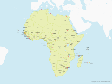
Map of North America with US States and Canadian Provinces - Single Color
WRLD-NA-01-0003

Details
Map of North America with US States and Canadian Provinces - Single Color is a fully layered, printable, editable vector map file. All maps come in AI, EPS, PDF, PNG and JPG file formats. Includes: Individual US States and Canadian Provinces in alphabetical order.
Available in the following map bundles
- Don't want to Attribute Free Vector Maps? Buy map for $2.25
- Aren't sure which option is best for you? Learn more
- How do I provide Attribution?


