Sponsored Images by iStock - Limited Deal: 15% OFF with 15ISTOCK Coupon
iStock Widget
A graphic illustrated vector image showing the outline of the country El Salvador. The outline of the country is filled with a dark navy blue colour and is on a plain white background. The border of the country is a detailed path.
The El Salvador map divided in departments and isolated on white background
central america - vector maps of territories
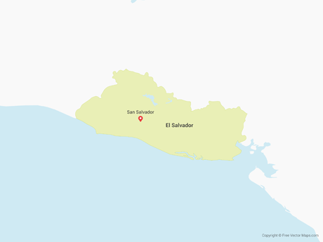
El Salvador Political Map with capital San Salvador, national borders, most important cities, rivers and lakes. Illustration with English labeling and scaling.
Map of El Salvador for your own design. With space for your text and your background. Four maps included in the bundle: - One black map. - One blank map with only a thin black outline (in a line art style). - One mosaic map. - One white map with a thin black outline. The 4 maps are isolated on a blank background (for easy change background or texture).The layers are named to facilitate your customization. Vector Illustration (EPS10, well layered and grouped). Easy to edit, manipulate, resize or colorize.
White map of El Salvador isolated on a gray background with a long shadow effect and in a flat design style. Vector Illustration (EPS10, well layered and grouped). Easy to edit, manipulate, resize or colorize.

Vector Maps of El Salvador

Map of El Salvador - Single ColorEl Salvador - Single ColorSV-EPS-01-0001
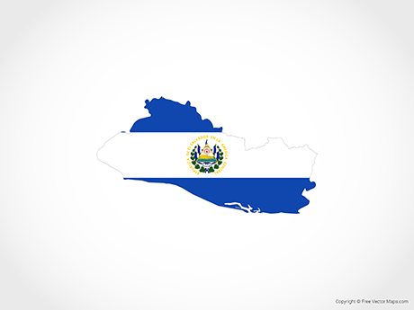
Map of El Salvador - FlagEl Salvador - FlagSV-EPS-02-6001
Map of El Salvador - OutlineEl Salvador - OutlineSV-EPS-01-0003
Map of El Salvador - 3DEl Salvador - 3DSV-EPS-02-8001

Vector Maps of Central America

Map of Belize with Districts - OutlineBelize with Districts - OutlineBZ-EPS-01-0004
Map of Costa Rica - OutlineCosta Rica - OutlineCR-EPS-01-0003
Map of Panama - FlagPanama - FlagPA-EPS-02-6001