Sponsored Images by iStock - Limited Deal: 15% OFF with 15ISTOCK Coupon
iStock Widget
Israel political map with capital Jerusalem, national borders, important cities, rivers and lakes. English labeling and scaling. Illustration.
Vector map of Israel and Palestine, showing the areas of the West Bank and the Gaza strip
Israel political map of administrative divisions - districts, Gaza Strip and Judea and Samaria Area. Solid blue blank vector map with white borders.
Map of Israel - Vintage Vector illustration
Vector illustration of the map of Israel
Eastern Mediterranean Political Map with capitals national borders, important cities, rivers and lakes. English labeling and scaling. Illustration.

Vector Maps of Israel

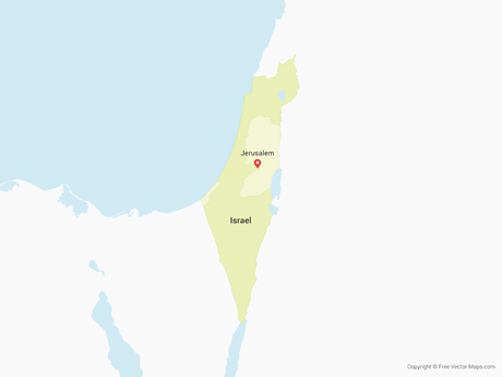
Map of Israel & Palestinian TerritoriesIsrael & Palestinian TerritoriesIL-EPS-02-4001
Map of Israel & Palestinian Territories - OutlineIsrael & Palestinian Territories - OutlineIL-EPS-01-0003
Map of Israel & Palestinian Territories - SketchIsrael & Palestinian Territories - SketchIL-EPS-02-7001
Map of Israel - FlagIsrael - FlagIL-EPS-02-6001

Vector Maps of the Middle East

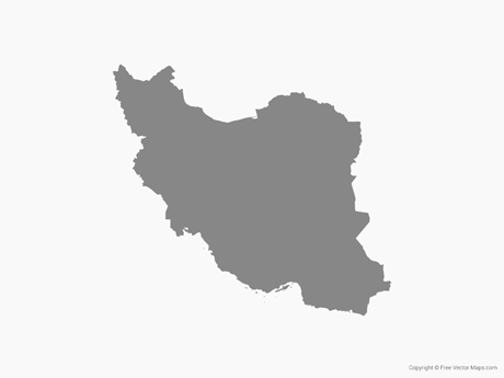
Map of Iran - FlagIran - FlagIR-EPS-02-6001
Map of Saudi Arabia - BlueSaudi Arabia - BlueSA-EPS-02-4001
Map of Oman - Single ColorOman - Single ColorOM-EPS-01-0001
Map of Syria - FlagSyria - FlagSY-EPS-02-6001