Sponsored Images by iStock - Limited Deal: 15% OFF with 15ISTOCK Coupon
iStock Widget
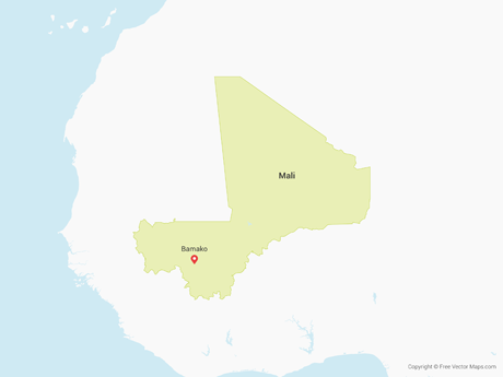
Mali vector map. Editable template with regions, cities, red pins and blue surface on white background.
road, political and administrative map of the Republic of Mali
Map of Africa with labeled countries and capital cities. All elements grouped in their own layers, labeled and alphabetized for easy editing. (See screenshot.) EPS 10 file. Transparency effects used longitude and latitude lines.
West Africa region, political map. Area with capitals and borders. The westernmost countries on the African continent, also called Western Africa. English labeling. Illustration. Vector.
vector illustration of Mali map
ECOWAS, Economic Community of West African States, member states, political map. Also known as CEDEAO, is a regional political and economic union of 15 countries in West Africa. Isolated illustration.

Vector Maps of Mali

Map of Mali - Single ColorMali - Single ColorML-EPS-01-0001
Map of Mali - FlagMali - FlagML-EPS-02-6001
Map of Mali with DepartmentsMali with DepartmentsML-EPS-02-0002

Vector Maps of Africa

Map of Morocco & Western SaharaMorocco & Western SaharaMA-EPS-02-0001
Map of Rwanda - FlagRwanda - FlagRW-EPS-02-6001