Sponsored Images by iStock - Limited Deal: 15% OFF with 15ISTOCK Coupon
iStock Widget
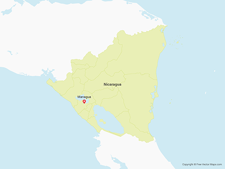
Political map of Nicaragua with capital Managua, with national borders, most important cities, rivers and lakes. Illustration with English labeling and scaling.
central america - vector maps of territories
A graphic illustrated vector image showing the outline of the country Nicaragua. The outline of the country is filled with a dark navy blue colour and is on a plain white background. The border of the country is a detailed path.
Political map of Central America with capitals, national borders, rivers and lakes. Vector illustration with English labeling and scaling.
Black location map of the Nicaraguan Boaco department inside gray map of Nicaragua
Vector illustration with simplified map of Central America region with blue contour of Nicaragua. Grey silhouettes, white outline of states' border.

Vector Maps of Nicaragua

Map of Nicaragua - Single ColorNicaragua - Single ColorNI-EPS-01-0001
Map of Nicaragua - BlueNicaragua - BlueNI-EPS-02-4001
Map of Nicaragua - FlagNicaragua - FlagNI-EPS-02-6001

Vector Maps of Central America

Map of Honduras - 3DHonduras - 3DHN-EPS-02-8001
Map of El SalvadorEl SalvadorSV-EPS-02-0001
Map of Guatemala - SketchGuatemala - SketchGT-EPS-02-7001