Sponsored Images by iStock - Limited Deal: 15% OFF with 15ISTOCK Coupon
iStock Widget
Vector. Map black
Political map of Uganda with capital Kampala, with national borders, most important cities, rivers and lakes. Illustration with English labeling and scaling.
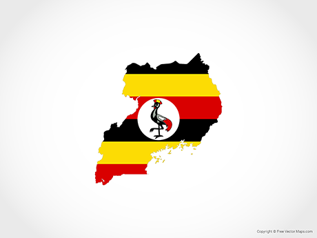
vector illustration of Uganda map with flag
Uganda - highly detailed blue map. Vector illustration
Map of Uganda for your own design. With space for your text and your background. Four maps included in the bundle: - One black map on a white background. - One blank map on a black background. - One white map with shadow on a blank background (for easy change background or texture). - One blank map with only a thin black outline (in a line art style). The layers are named to facilitate your customization. Vector Illustration (EPS10, well layered and grouped). Easy to edit, manipulate, resize or colorize. Please do not hesitate to contact me if you have any questions, or need to customise the illustration. http://www.istockphoto.com/portfolio/bgblue
Africa single states political map. Each country with its own color area. With national borders on white background. Continent including Madagascar and island nations. English labeling.

Vector Maps of Uganda

Map of Uganda - Single ColorUganda - Single ColorUG-EPS-01-0001
Map of Uganda - BlueUganda - BlueUG-EPS-02-4001

Vector Maps of Africa

Map of Djibouti with Regions - Single ColorDjibouti with Regions - Single ColorDJ-EPS-01-0002
Map of Central African Republic - BlueCentral African Republic - BlueCF-EPS-02-4001
Map of Cameroon - FlagCameroon - FlagCM-EPS-02-6001
Map of Kenya with Provinces - Single ColorKenya with Provinces - Single ColorKE-EPS-01-0002