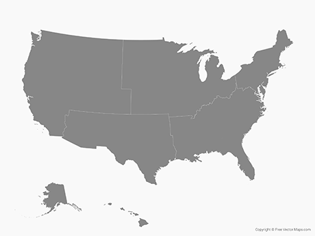
Map of the United States of America with States
US-EPS-03-0001

Premium Details
Map of the United States of America with States is a fully layered, editable vector map file. All maps come in AI, EPS, PDF, PNG and JPG file formats.
Includes: Individual states, national parks, urban areas, major and secondary highways, ferries, international border, coast line, rivers, scale and more on selectable layers.
Premium License: Premium royalty free maps can be used in an unlimited number of projects and do not require attribution. Learn more
Maps may contain locked layers. Learn more


