Sponsored Images by iStock - Limited Deal: 15% OFF with 15ISTOCK Coupon
iStock Widget
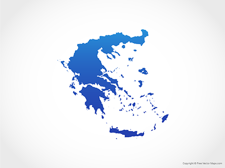
A graphic illustrated vector image showing the outline of the country Greece. The outline of the country is filled with a dark navy blue colour and is on a plain white background. The border of the country is a detailed path.
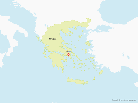
Greece political map with capital Athens, with most important peninsulas and islands, with national borders and neighbor countries. Gray colored illustration with English labeling over white.
Greece country political map. Detailed vector illustration with isolated provinces, departments, regions, counties, cities, islands and states easy to ungroup.
Political map of Greece with the capital Athens, national borders, most important cities, rivers and lakes. With english labeling and scale.
Greece, the Hellenic Republic, political map. Country in Southeast Europe on the southern tip of the Balkan peninsula, with capital Athens. Bordered by the Aegean, Ionian, and the Mediterranean Sea.
Illustration map of Greece with nature, animals and landmarks. Editable Vector illustration

Vector Maps of Greece

Map of Greece - BlueGreece - BlueGR-EPS-02-4001
Map of Greece - FlagGreece - FlagGR-EPS-02-6001
Map of Greece with RegionsGreece with RegionsGR-EPS-02-0002

Vector Maps of Europe

Map of Montenegro with MunicipalitiesMontenegro with MunicipalitiesME-EPS-02-0002
Map of Germany - BlueGermany - BlueDE-EPS-02-4001
Map of Russia - OutlineRussia - OutlineRU-EPS-01-0004
Map of United Kingdom - 3DUnited Kingdom - 3DUK-EPS-02-8001