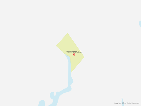
Map of the District of Columbia - Flag
US-DC-EPS-02-6001

Details
Map of the District of Columbia - Flag is a fully layered, printable, editable vector map file. All maps come in AI, EPS, PDF, PNG and JPG file formats. Flag Map, perfect for presentations or backgrounds.
Available in the following map bundle
- Don't want to Attribute Free Vector Maps? Buy map for $3.75
- Aren't sure which option is best for you? Learn more
- How do I provide Attribution?
The50UnitedStates.com
State of District of Columbia information, motto, flag, maps, bird, flower, and more. Learn more


