
Sponsored vectors from Shutterstock
Click to save 20% sitewide with code MAPS20
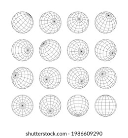
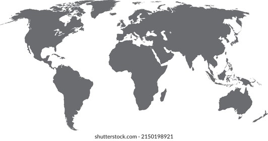
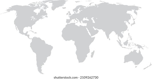
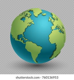


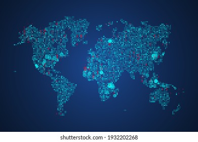

Map of the World with Glaciated Areas is a fully layered, printable, editable vector map file. All maps come in AI, EPS, PDF, PNG and JPG file formats. Classic map of the world in the Miller Projection without Antarctica. Includes: Glaciated Areas, Longitude and Latitudes and Circles of Latitude on individual layers.
Click to save 20% sitewide with code MAPS20


