Sponsored vectors from Shutterstock

Click to save 20% sitewide with code MAPS20
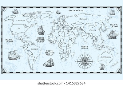
Vector antique world map with countries boundaries and ships
Dotted world map. The concept illustration of globe
Australia Map
More Oceania maps on Shutterstock

Maps of Oceania

145 to 162 of 197 results

Map of Solomon Islands - FlagSolomon Islands - FlagSB-EPS-02-6001
Map of South Australia - OutlineSouth Australia - OutlineAU-SA-EPS-01-1001
Map of Solomon Islands with ProvincesSolomon Islands with ProvincesSB-EPS-02-0002
Map of Northern Mariana Islands - BlueNorthern Mariana Islands - BlueMP-EPS-02-4001
Map of Tasmania - OutlineTasmania - OutlineAU-TAS-EPS-01-1001
Map of Samoa - FlagSamoa - FlagWS-EPS-02-6001
Map of Vanuatu with ProvincesVanuatu with ProvincesVU-EPS-02-0002
Map of Vanuatu with Provinces - Single ColorVanuatu with Provinces - Single ColorVU-EPS-01-0002
Map of French Polynesia - BlueFrench Polynesia - BluePF-EPS-02-4001
Map of Nauru - FlagNauru - FlagNR-EPS-02-6001
Map of Christmas Island - BlueChristmas Island - BlueCX-EPS-02-4001
Map of Cocos (Keeling) Islands - BlueCocos (Keeling) Islands - BlueCC-EPS-02-4001
Map of Tonga - FlagTonga - FlagTO-EPS-02-6001
Map of New Zealand - SketchNew Zealand - SketchNZ-EPS-02-7001
Map of Vanuatu - BlueVanuatu - BlueVU-EPS-02-4001
Map of Cook Islands - BlueCook Islands - BlueCK-EPS-02-4001
Map of Vanuatu with Provinces - MulticolorVanuatu with Provinces - MulticolorVU-EPS-02-0003
Map of Solomon Islands - BlueSolomon Islands - BlueSB-EPS-02-4001