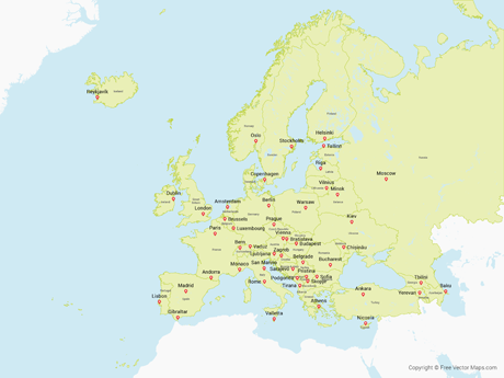
Map of the World with Countries - Multicolor
WRLD-EPS-03-0001

Premium Details
Map of the World with Countries - Multicolor is a fully layered, editable vector map file. All maps come in AI, EPS, PDF, PNG and JPG file formats.
Includes: Highly detailed maps of the world with individual countries (in ISO alphabetical order), capitals, glaciers, antarctic ice shelves longitude and latitude, rivers, scale and more on over 250 selectable layers. Amazing map for the price!
Premium License: Premium royalty free maps can be used in an unlimited number of projects and do not require attribution. Learn more
Maps may contain locked layers. Learn more


