Sponsored vectors from Shutterstock

Click to save 20% sitewide with code MAPS20
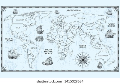
Vector antique world map with countries boundaries and ships
Dotted world map. The concept illustration of globe
Australia Map
More Oceania maps on Shutterstock

Maps of Oceania

127 to 144 of 197 results

Map of Australian Capital Territory - BlueAustralian Capital Territory - BlueAU-ACT-EPS-02-4001
Map of Northern Territory - DotsNorthern Territory - DotsAU-NT-EPS-01-3001
Map of New South Wales - FlagNew South Wales - FlagAU-NSW-EPS-02-6001
Map of Solomon Islands - BlueSolomon Islands - BlueSB-EPS-02-4001
Map of American Samoa -BlueAmerican Samoa -BlueAS-EPS-02-4001
Map of Victoria - FlagVictoria - FlagAU-VIC-EPS-02-6001
Map of Fiji with Administrative DivisionsFiji with Administrative DivisionsFJ-EPS-02-0002
Map of Palau - BluePalau - BluePW-EPS-02-4001
Map of Kiribati - FlagKiribati - FlagKI-EPS-02-6001
Map of Vanuatu - FlagVanuatu - FlagVU-EPS-02-6001
Map of Northern Territory -BlueNorthern Territory -BlueAU-NT-EPS-02-4001
Map of Solomon Islands - FlagSolomon Islands - FlagSB-EPS-02-6001
Map of Marshall Islands - BlueMarshall Islands - BlueMH-EPS-02-4001
Map of Samoa - FlagSamoa - FlagWS-EPS-02-6001
Map of New Caledonia - FlagNew Caledonia - FlagNC-EPS-02-6001
Map of Tokelau - Single ColorTokelau - Single ColorTK-EPS-01-0001
Map of Queensland - FlagQueensland - FlagAU-QLD-EPS-02-6001
Map of Tonga - FlagTonga - FlagTO-EPS-02-6001